
Topografische Karte Cholsey & Wallingford Railway
Interaktive Karte
Klicken Sie auf die Karte, um die Höhe anzuzeigen.
Über diese Karte
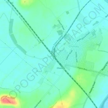
Name: Topografische Karte Cholsey & Wallingford Railway, Höhe, Relief.
Durchschnittliche Höhe: 53 m
Minimale Höhe: 41 m
Maximale Höhe: 94 m