
Topografische Karte Le Moulin à Papier
Interaktive Karte
Klicken Sie auf die Karte, um die Höhe anzuzeigen.
Über diese Karte
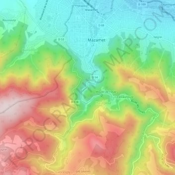
Name: Topografische Karte Le Moulin à Papier, Höhe, Relief.
Durchschnittliche Höhe: 450 m
Minimale Höhe: 222 m
Maximale Höhe: 740 m