
Topografische Karte Bowron Lake Provincial Park
Interaktive Karte
Klicken Sie auf die Karte, um die Höhe anzuzeigen.
Über diese Karte
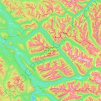
Name: Topografische Karte Bowron Lake Provincial Park, Höhe, Relief.
Durchschnittliche Höhe: 1.444 m
Minimale Höhe: 818 m
Maximale Höhe: 2.657 m
Bears are quite common in the park – black bears are numerous in the lower altitudes around the lake, and grizzly bears frequent the alpine areas. In addition to its bears, Bowron Lake Park is home to predators like cougars, wolves, wolverines, and lynx.