
Topografische Karte Buntzen Lake
Interaktive Karte
Klicken Sie auf die Karte, um die Höhe anzuzeigen.
Buntzen Lake
Hiking time: 6–8 hours return. Distance: 15 km (9 mi). Elevation gain: 1,020 m (3,350 ft). This is the most popular of the three Halvor Lunden trails. It passes thought ancient mountain forests and has a number of viewpoints from which overlook Vancouver. The trailhead is on Powerhouse Road, near the southeast corner of the South Beach parking area, and takes you up a steep climb of over 700m, passing the Polytrichum Lookout before reaching the "Lake district" which includes several small lakes and the larger Lindsay Lake.
Über diese Karte
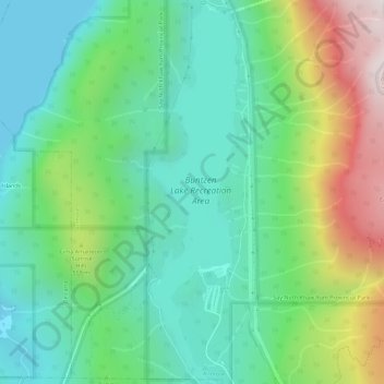
Name: Topografische Karte Buntzen Lake, Höhe, Relief.
Durchschnittliche Höhe: 348 m
Minimale Höhe: 0 m
Maximale Höhe: 1.158 m