
Topografische Karte Centro de Desarrollo Cd. Sahagún
Interaktive Karte
Klicken Sie auf die Karte, um die Höhe anzuzeigen.
Über diese Karte
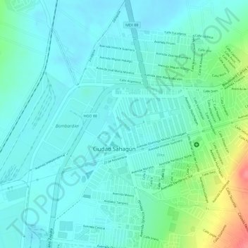
Name: Topografische Karte Centro de Desarrollo Cd. Sahagún, Höhe, Relief.
Durchschnittliche Höhe: 2.459 m
Minimale Höhe: 2.440 m
Maximale Höhe: 2.522 m