
Topografische Karte Mission
Interaktive Karte
Klicken Sie auf die Karte, um die Höhe anzuzeigen.
Über diese Karte
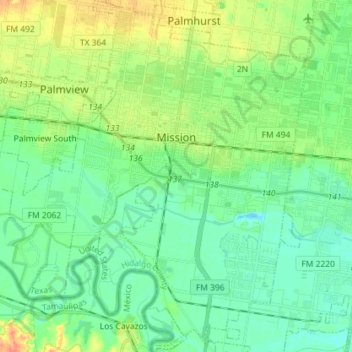
Name: Topografische Karte Mission, Höhe, Relief.
Ort: Mission, Hidalgo County, Texas, États-Unis d'Amérique (26.13747 -98.40783 26.26584 -98.27209)
Durchschnittliche Höhe: 39 m
Minimale Höhe: 25 m
Maximale Höhe: 67 m
Andere topografische Karten
Klicken Sie auf eine Karte, um ihre Topografie, ihre Höhe und ihr Relief anzuzeigen.
Chihuahua
États-Unis d'Amérique > Texas > Hidalgo County > Chihuahua
Chihuahua, Hidalgo County, Texas, 78560, États-Unis d'Amérique
Durchschnittliche Höhe: 42 m
La Villa
États-Unis d'Amérique > Texas > Hidalgo County
La Villa, Hidalgo County, Texas, 78562, États-Unis d'Amérique
Durchschnittliche Höhe: 19 m