
Topografische Karte Epperstone CP
Interaktive Karte
Klicken Sie auf die Karte, um die Höhe anzuzeigen.
Epperstone CP
The report notes Epperstone's "very distinctive character... a combination of topography, buildings, trees and walls.... The constantly changing views make it an attractive space to move through." It also notes, "The approach to the village from the west is along a tunnel formed by overhanging trees, including ash, holly, maple, horse chestnut and yew. This creates a strong sense of arrival as you enter the village." The report criticises additions made to the former police training centre in Main Street.[18]
Über diese Karte
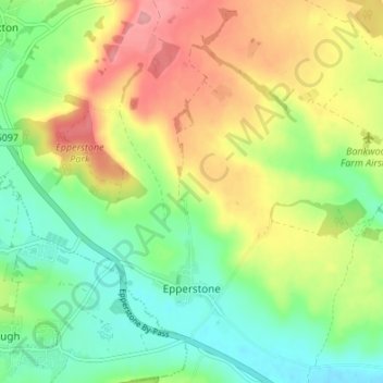
Name: Topografische Karte Epperstone CP, Höhe, Relief.
Durchschnittliche Höhe: 69 m
Minimale Höhe: 25 m
Maximale Höhe: 129 m