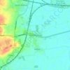
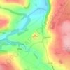
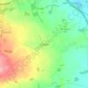
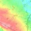
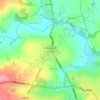
Topografische Karte Crambe
Klicken Sie auf die Karte, um die Höhe anzuzeigen.
Crambe
The village is at an elevation of 160 feet (49 m) above sea level, lies 0.6 miles (0.97 km) from the A64 road and within a bend in the River Derwent, Yorkshire. The nearest settlements to Crambe are Kirkham 0.5 miles (0.8 km) to the north-east; Whitwell-on-the-Hill 0.9 miles (1.4 km) to the north-west; Barton Hill 1.6 miles (2.6 km) to the south-west and Howsham 1.43 miles (2.30 km) to the south. It is also near Kirkham Priory, Howsham Hall, and Castle Howard.
Über diese Karte

Name: Topografische Karte Crambe, Höhe, Relief.
Durchschnittliche Höhe: 36 m
Minimale Höhe: 9 m
Maximale Höhe: 93 m
Andere topografische Karten
Klicken Sie auf eine Karte, um ihre Topografie, ihre Höhe und ihr Relief anzuzeigen.
Scarborough
United Kingdom > England > North Yorkshire
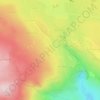
The climate is temperate with mild summers and cool, windy, winters. The hottest months of the year are July and August, with temperatures reaching an average high of 17 °C and falling to 11 °C at night. The average daytime temperatures in January are 4 °C, falling to 1 °C at night. The station's elevation…
Durchschnittliche Höhe: 39 m



Sneaton Castle Centre
United Kingdom > England > North Yorkshire > Whitby
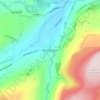
Durchschnittliche Höhe: 57 m
Roseberry Topping
United Kingdom > England > North Yorkshire > Great Ayton
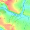
Durchschnittliche Höhe: 172 m




Cod Beck
United Kingdom > England > North Yorkshire > Osmotherley > Clack
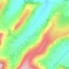
Durchschnittliche Höhe: 156 m












Bolton Castle
United Kingdom > England > North Yorkshire > Redmire > Castle Bolton
Durchschnittliche Höhe: 250 m


Thimbleby & Osmotherly Show field
United Kingdom > England > North Yorkshire > Thimbleby
Durchschnittliche Höhe: 152 m


Easby Moor
United Kingdom > England > North Yorkshire > Easby > Little Ayton
Durchschnittliche Höhe: 184 m




Killinghall
United Kingdom > England > North Yorkshire > Harrogate > Killinghall
Durchschnittliche Höhe: 86 m