
Topografische Karte Española
Interaktive Karte
Klicken Sie auf die Karte, um die Höhe anzuzeigen.
Española
Española lies at an elevation of around 5,595 feet (1,705 m) with much variance. It is in a valley nestled between the Jemez and Sangre de Cristo mountain ranges, and the meeting point of three rivers, the Rio Grande, the Rio Chama, and the Rio Santa Cruz.
Über diese Karte
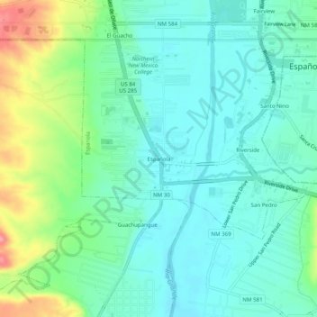
Name: Topografische Karte Española, Höhe, Relief.
Durchschnittliche Höhe: 1.722 m
Minimale Höhe: 1.696 m
Maximale Höhe: 1.794 m