
Topografische Karte Village of Brightwaters
Interaktive Karte
Klicken Sie auf die Karte, um die Höhe anzuzeigen.
Über diese Karte
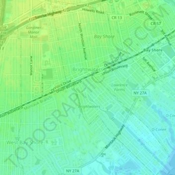
Name: Topografische Karte Village of Brightwaters, Höhe, Relief.
Durchschnittliche Höhe: 8 m
Minimale Höhe: -1 m
Maximale Höhe: 15 m
Andere topografische Karten
Klicken Sie auf eine Karte, um ihre Topografie, ihre Höhe und ihr Relief anzuzeigen.
Baywood
United States > New York > Suffolk County > Town of Islip
Baywood, Town of Islip, Suffolk County, New York, United States
Durchschnittliche Höhe: 21 m
Bayport
United States > New York > Suffolk County > Town of Islip
Bayport, Town of Islip, Suffolk County, New York, 11705, United States
Durchschnittliche Höhe: 8 m
West Sayville
United States > New York > Suffolk County > Town of Islip
West Sayville, Town of Islip, Suffolk County, New York, 11796, United States
Durchschnittliche Höhe: 5 m