
Topografische Karte Sankt-Lorenz-Strom
Interaktive Karte
Klicken Sie auf die Karte, um die Höhe anzuzeigen.
Über diese Karte
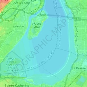
Name: Topografische Karte Sankt-Lorenz-Strom, Höhe, Relief.
Durchschnittliche Höhe: 14 m
Minimale Höhe: 5 m
Maximale Höhe: 66 m