
Topografische Karte Sherwood Forest NNR
Interaktive Karte
Klicken Sie auf die Karte, um die Höhe anzuzeigen.
Über diese Karte
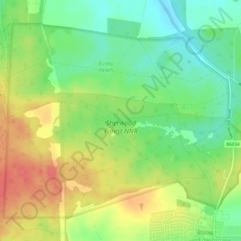
Name: Topografische Karte Sherwood Forest NNR, Höhe, Relief.
Durchschnittliche Höhe: 71 m
Minimale Höhe: 42 m
Maximale Höhe: 104 m