
Topografische Karte San Andres
Interaktive Karte
Klicken Sie auf die Karte, um die Höhe anzuzeigen.
Über diese Karte
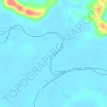
Name: Topografische Karte San Andres, Höhe, Relief.
Ort: San Andres, Tumaco, Nariño, Colombia (2.27792 -78.50289 2.28871 -78.49893)
Durchschnittliche Höhe: 9 m
Minimale Höhe: 0 m
Maximale Höhe: 77 m
Andere topografische Karten
Klicken Sie auf eine Karte, um ihre Topografie, ihre Höhe und ihr Relief anzuzeigen.
LA BRAVA - R?O GUANA
Colombia > Nariño > Tumaco > Kaunapi
LA BRAVA - R?O GUANA, Kaunapi, Tumaco, Pacífico Sur, Nariño, Colombia
Durchschnittliche Höhe: 18 m
San Fransico (6)
Colombia > Nariño > Contadero > Contadero
San Fransico (6), Contadero, Ex-Providencia de Obando, Nariño, Colombia
Durchschnittliche Höhe: 2.804 m