
Topografische Karte Clipperton-Insel
Interaktive Karte
Klicken Sie auf die Karte, um die Höhe anzuzeigen.
Clipperton-Insel
Die meromiktische Lagune ist ein sterbendes Gewässer. Seit 150 Jahren vom Meer abgetrennt, leidet es durch den hohen Eintrag von organischem Material (Pflanzenreste, Vogelkot) unter Eutrophierung, was zu starkem Sauerstoffmangel und Fäulnis in der Tiefe führt. Inzwischen enthält die Lagune kein höheres Leben mehr, nur Bakterien (insbesondere Cyanobakterien) können hier noch überleben. Das äußere Riff bietet Lebensraum für zahlreiche Fische, darunter zwei endemische Arten.
Über diese Karte
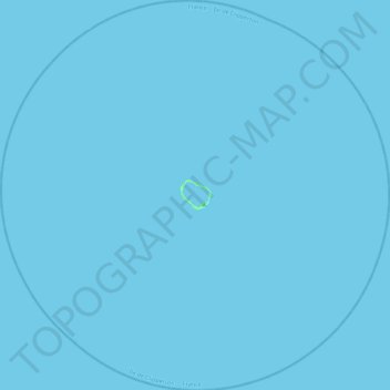
Name: Topografische Karte Clipperton-Insel, Höhe, Relief.
Ort: Clipperton-Insel, Frankreich (10.08424 -109.43869 10.52031 -108.99709)
Durchschnittliche Höhe: 0 m
Minimale Höhe: -1 m
Maximale Höhe: 6 m